Transportation
Riverboat Terminal
|
|
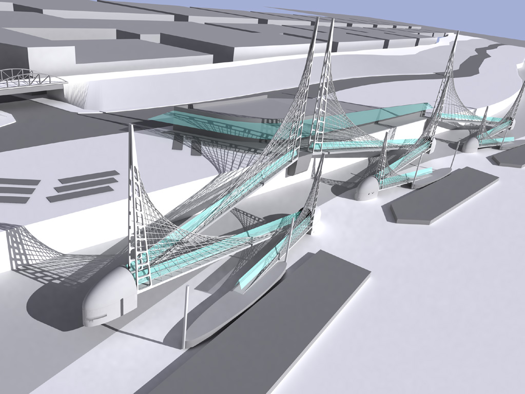
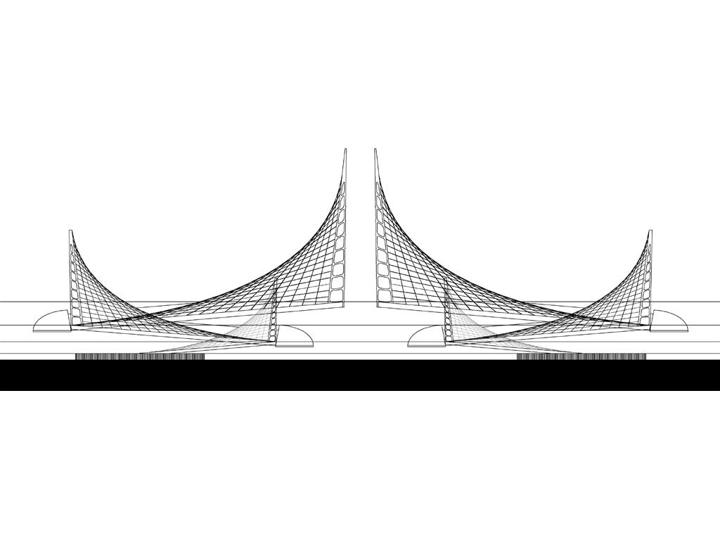
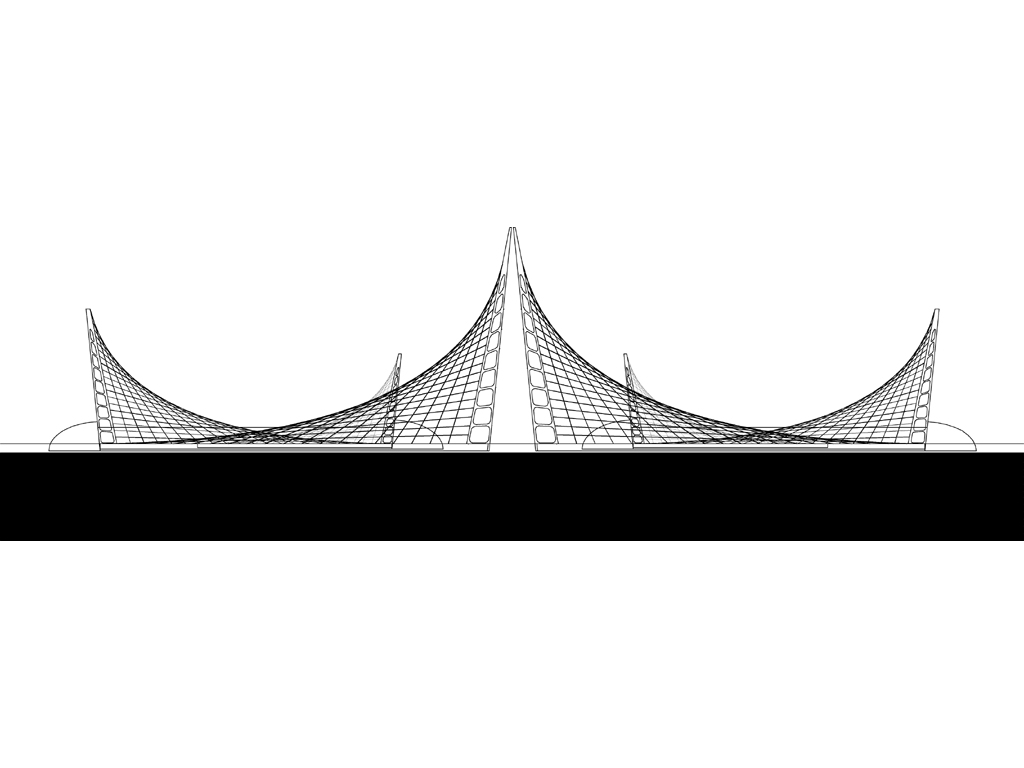
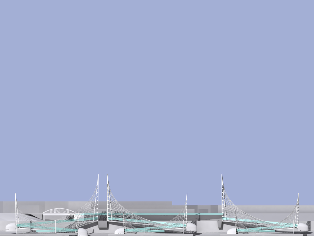
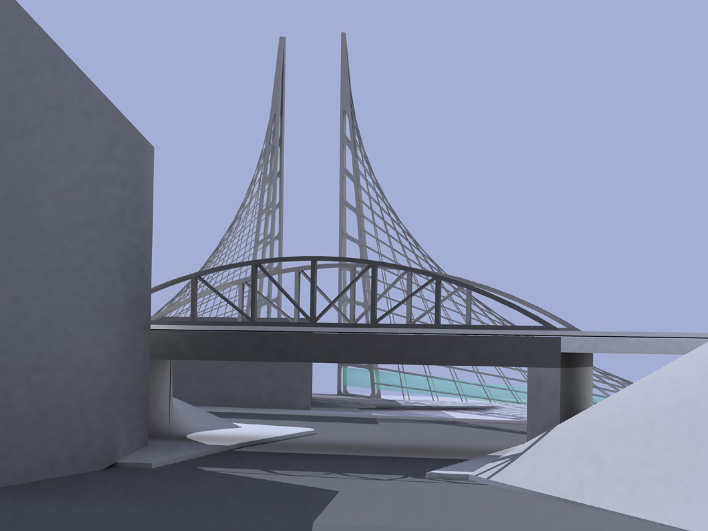
The Stage Gauge is designed as a landmark to terminate Beale Street that tracks the elevation of the river from month to month, day to day. The pontoon type marine facility makes use of the gangway structure to trace the movement of the river’s elevation. Collectively, the image of the gangway structures could be seen as a “flotilla of sails”. When the river stage is low, the sails appear to be in motion. When the river is high, the sails are static or calm. The gangway ramp lengths are designed to operate as accessible routes between river elevations from 230′ to 185′. This would allow the facility to be open over 95% of the time throughout the year. Continue reading Riverboat Terminal… |

Highline Park Conversion
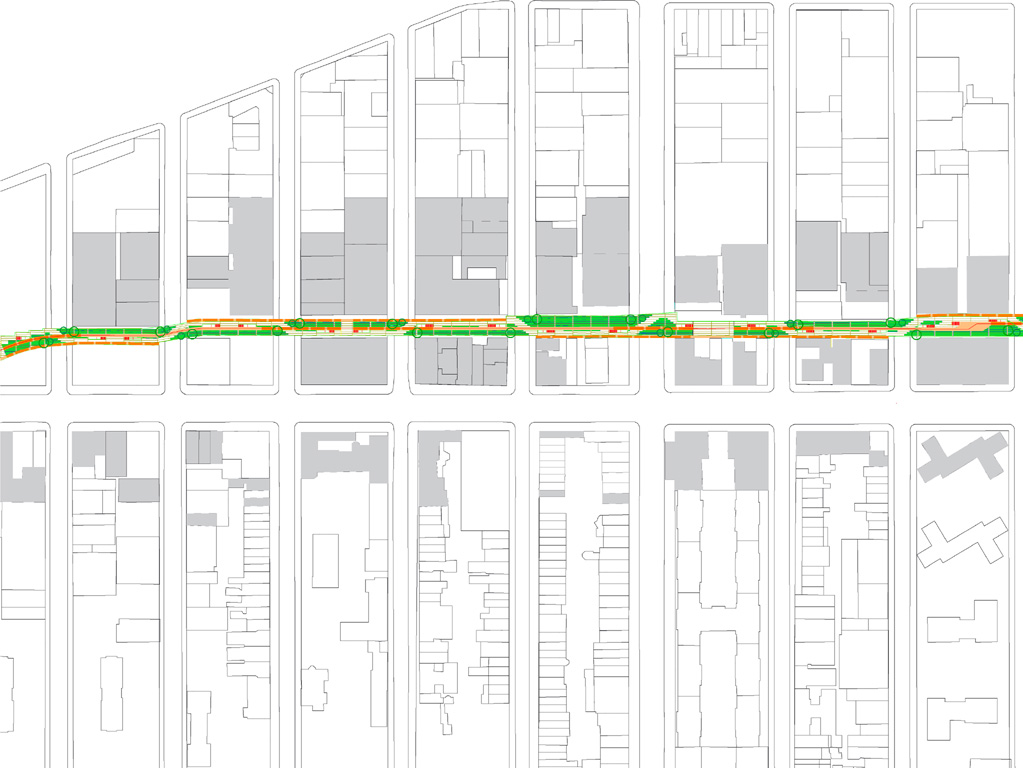
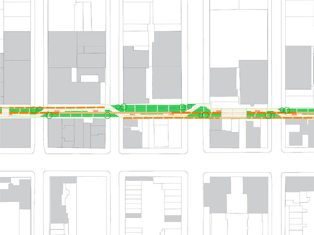
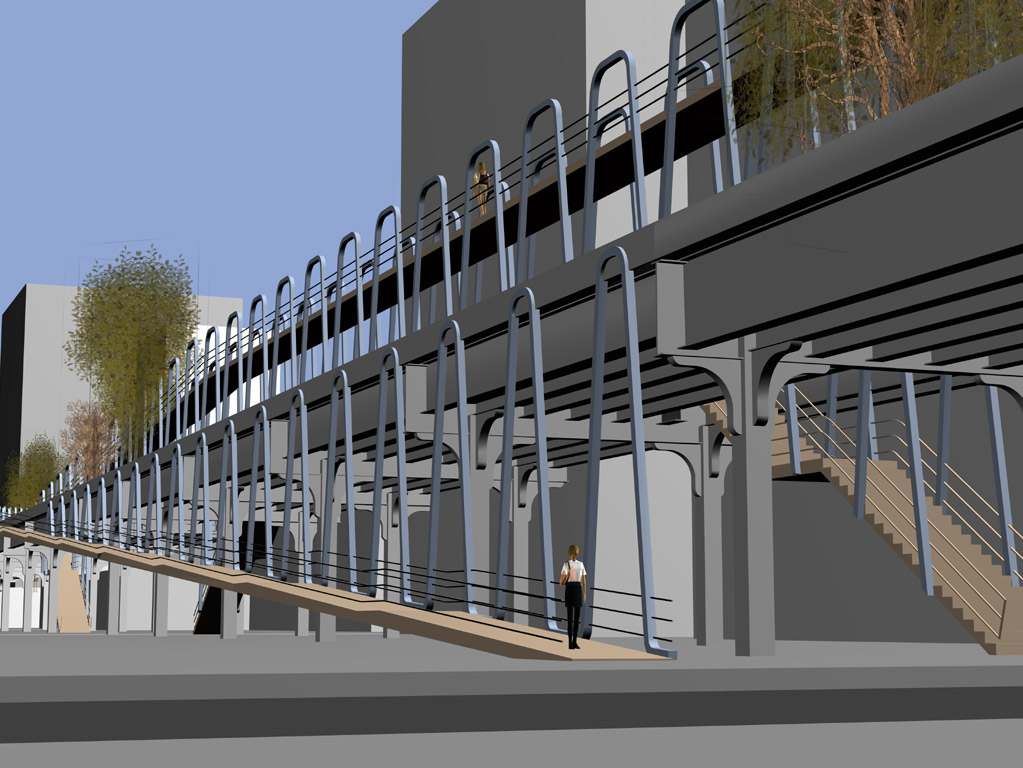
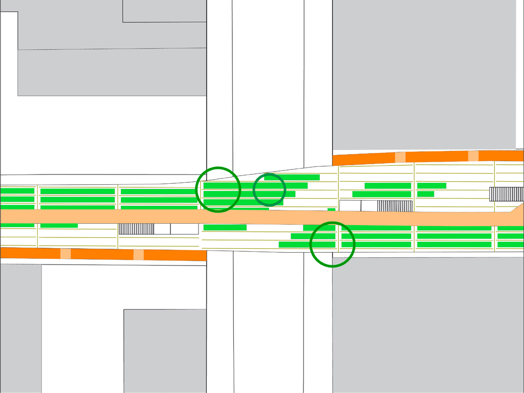
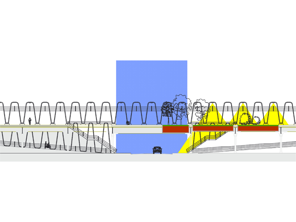
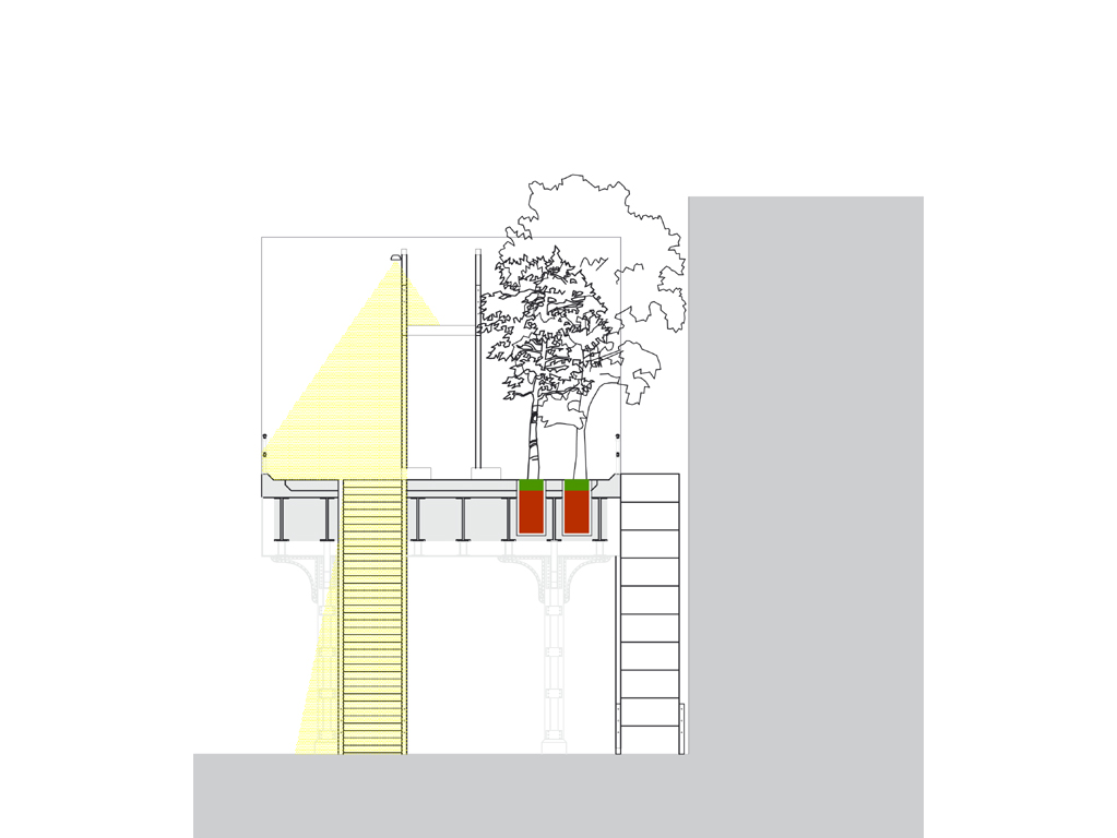
| European canals slice through their cities by connecting with each street they pass under. Now used as linear parks, they survive because they are inseparably connected to the urban system. The highline has to be connected to NYC’s street grid in a similar way to become an integrated and safe part of it. If the highline is thought of as a park in this way then it can become NYC’s Green Canal.A system of stairs and ramps establish a strong connection to the street grid. A stairway at each side of every street leads to the linear park to promote a safer urban environment. |
|
|
| Continue reading Highline Park Conversion… |
© Standing Architecture